37. Orne Islands |
||||||||||||

|
||||||||||||
|---|---|---|---|---|---|---|---|---|---|---|---|---|
|
||||||||||||
|
||||||||||||
| Description | ||||||||||||
| TOPOGRAPHY | ||||||||||||
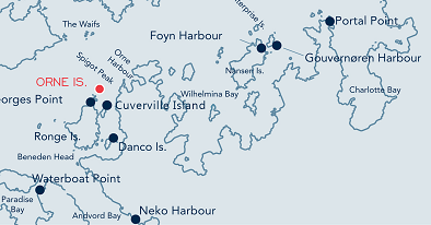
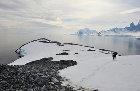
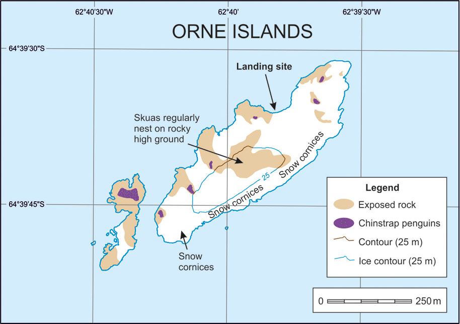
| A group of small low-lying islands close to Rongé Island at the entrance to the Errera Channel. The largest of the Orne Islands is a moderately sloped low rocky dome rising to around 75 metres, with a rocky central ridge and permanent snow banks. The group includes three other small islets. | ||||||||||||
| FAUNA | ||||||||||||
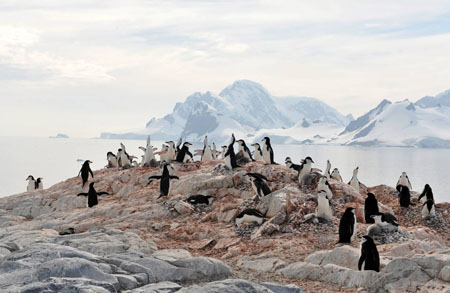
| Confirmed breeders: Antarctic tern, chinstrap Penguin, Gentoo penguin, Kelp gull, Skua, Snowy sheathbill. | ||||||||||||
| Regularly haul out: Fur seal. | ||||||||||||
| Seen near-shore: Leopard seal, Weddell seal. | ||||||||||||
| Seen off-shore: Humpback Whale. | ||||||||||||
| FLORA | ||||||||||||
| Moss species; bearded and crustose lichen species including Xanthoria spp., Buellia spp., Caloplaca spp. and Usnea spp. grow on rocky outcrops. | ||||||||||||
| Visitor Impact | ||||||||||||
| KNOWN IMPACTS | ||||||||||||
| None. | ||||||||||||
| POTENTIAL IMPACTS | ||||||||||||
| Disturbance to wildlife and trampling of vegetation. | ||||||||||||
| Landing Requirements | ||||||||||||
| SHIPS* | ||||||||||||
|
Max pax on board: 500
Ships per day: 3 Comments: * A ship is defined as a vessel which carries more than 12 passengers. |
||||||||||||
| VISITORS | ||||||||||||
|
Maximum number of visitors at any time, exclusive of expedition guides and leaders: 100 Visitors per guide: 20 |
||||||||||||
| Visitor Area | ||||||||||||
| LANDING AREA | ||||||||||||
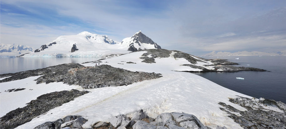
| A low rock platform on the north-west side of the island approximately 250m from the northern end. The other islets are suitable for small boat cruising. | ||||||||||||
| GUIDED WALKING AREA | ||||||||||||
| None. | ||||||||||||
| FREE ROAMING AREA | ||||||||||||
| Visitors may roam freely. | ||||||||||||
| Visitor code of conduct | ||||||||||||
| BEHAVIOUR ASHORE | ||||||||||||
|
||||||||||||
| CAUTIONARY NOTES | ||||||||||||
| Hazardous rocks along the shoreline may be exposed, depending on the tide. Note that snow cliffs at the edge of the island are often corniced and unstable. They may not be readily apparent. | ||||||||||||
|
||||||||||||
| View of the island looking south west, with the preferred landing area at the rocky area on the right hand side | ||||||||||||
|
||||||||||||
|
||||||||||||
|
|
Please note that ATCM / CEP circulars are available only to specific contact points.
Please contact your Party Contact Administrator, to confirm if you have privileges to access this section.
To access this section you must log in using your personal Username/Email and password as registered in the AT Contacts Database.
To access this section you must log in using your personal Username/Email and password as registered in the AT Contacts Database.
If you are not registered, please request your party’s Contact Administrator to assign your credentials or contact the Secretariat for assistance.