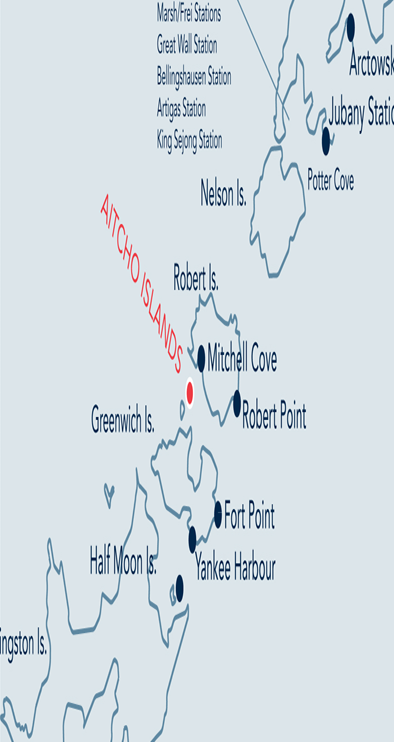
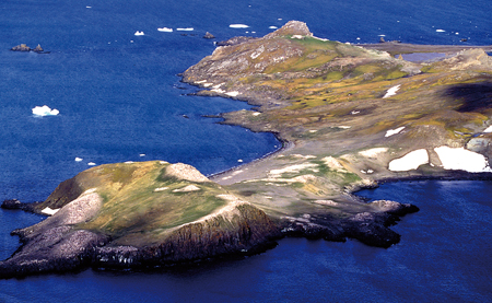
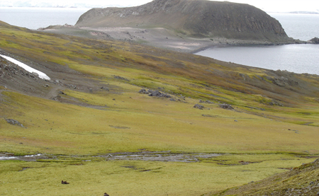
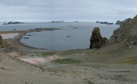
2. Barrientos Island (Aitcho Islands) |
||||||||||||

|
||||||||||||
|---|---|---|---|---|---|---|---|---|---|---|---|---|
|
||||||||||||
|
||||||||||||
| Description | ||||||||||||
| TOPOGRAPHY | ||||||||||||
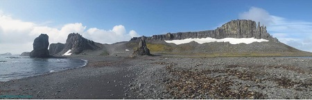
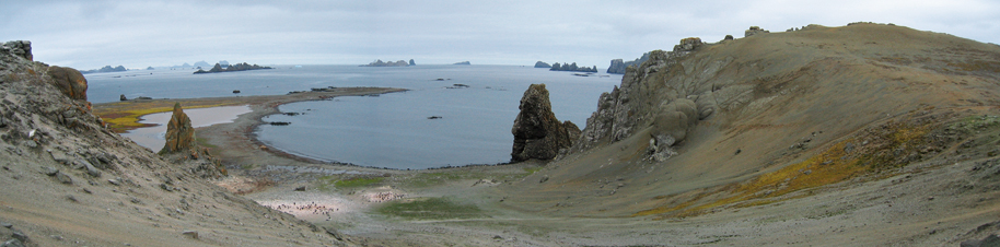
| This 1.5km island’s north coast is dominated by steep cliffs, reaching a height of approximately 70 metres, with a gentle slope down to the south coast. The eastern and western ends of the island are black sand and cobbled beaches. Columnar basalt outcrops are a notable feature of the western end. | ||||||||||||
| FAUNA | ||||||||||||
| Confirmed breeders: chinstrap Penguin, Gentoo penguin, Kelp gull, Skua, Southern giant petrel. | ||||||||||||
| Regularly haul out: Antarctic fur seal, Southern elephant seal, Weddell seal. | ||||||||||||
| Suspected Breeders: Blue-eyed shag, Wilson’s storm-petrel. | ||||||||||||
| FLORA | ||||||||||||
| The entire centre of the island is covered by a very extensive moss carpet. Lichens Xanthoria spp., Caloplaca spp. and other crustose lichen species are present. The green alga Prasiola crispa is widespread. | ||||||||||||
| Visitor Impact | ||||||||||||
| KNOWN IMPACTS | ||||||||||||
| The erosion of multiple footpaths through vegetation between the eastern and western ends of the island. | ||||||||||||
| POTENTIAL IMPACTS | ||||||||||||
| Further damage to the vegetation and disturbance of wildlife, particularly southern giant petrels. | ||||||||||||
| Landing Requirements | ||||||||||||
| SHIPS* | ||||||||||||
|
Max pax on board: 200
Ships per day: 2 Comments: * A ship is defined as a vessel which carries more than 12 passengers. |
||||||||||||
| VISITORS | ||||||||||||
|
Maximum number of visitors at any time, exclusive of expedition guides and leaders: 100 Visitors per guide: 20 Curfew time period (from/to), in order to establish a rest period for wildlife: 22:00-04:00 |
||||||||||||
| Visitor Area | ||||||||||||
| LANDING AREA | ||||||||||||
|
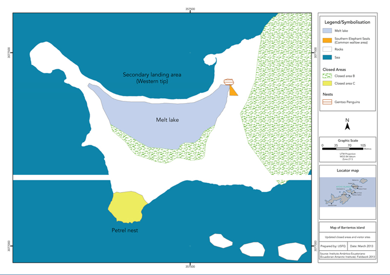
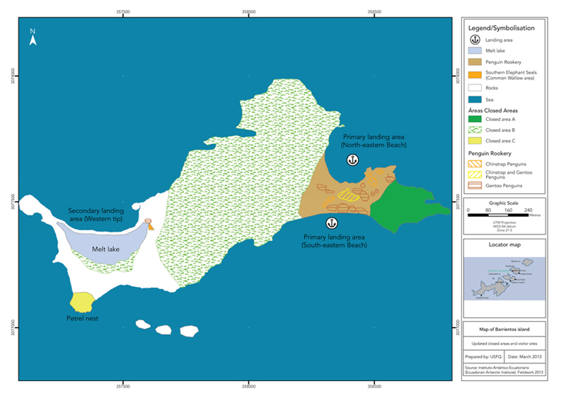
Primary: eastern end of the island; landing either on the sand beach to the north, or on the cobbled southern beach. Secondary: northern shore of the western end of the island, with easiest access at high water. |
||||||||||||
| CLOSED AREA | ||||||||||||
|
Closed Area A: Monitoring sites for chinstrap penguins above and southeast of the eastern landing area. Closed Area B: Central part of the island covered by a very extensive moss carpet and the northern cliffs where southern giant petrels nest. Closed Area C: Knoll on the southwestern tip of the island where southern giant petrels nest. |
||||||||||||
| FREE ROAMING AREA | ||||||||||||
| Visitors can roam freely, but under supervision, anywhere except the closed areas. | ||||||||||||
| Visitor code of conduct | ||||||||||||
| BEHAVIOUR ASHORE | ||||||||||||
|
||||||||||||
| CAUTIONARY NOTES | ||||||||||||
| Stay clear of cliffs and vertical walls and stacks as these are prone to rock falls and slides. | ||||||||||||
|
||||||||||||
|
||||||||||||
|
||||||||||||
|
Please note that ATCM / CEP circulars are available only to specific contact points.
Please contact your Party Contact Administrator, to confirm if you have privileges to access this section.
To access this section you must log in using your personal Username/Email and password as registered in the AT Contacts Database.
To access this section you must log in using your personal Username/Email and password as registered in the AT Contacts Database.
If you are not registered, please request your party’s Contact Administrator to assign your credentials or contact the Secretariat for assistance.